High-resolution satellite images comparing 2019 and 2026 have revealed large-scale deforestation across parts of Upper Dir, raising fresh concerns over forest protection in Khyber Pakhtunkhwa.
The images, taken from Space4Climate , show extensive loss of natural tree cover across 13 hotspot locations near Jatkool village in the Sheringal area, where large forest patches have turned into bare land over the seven-year period.
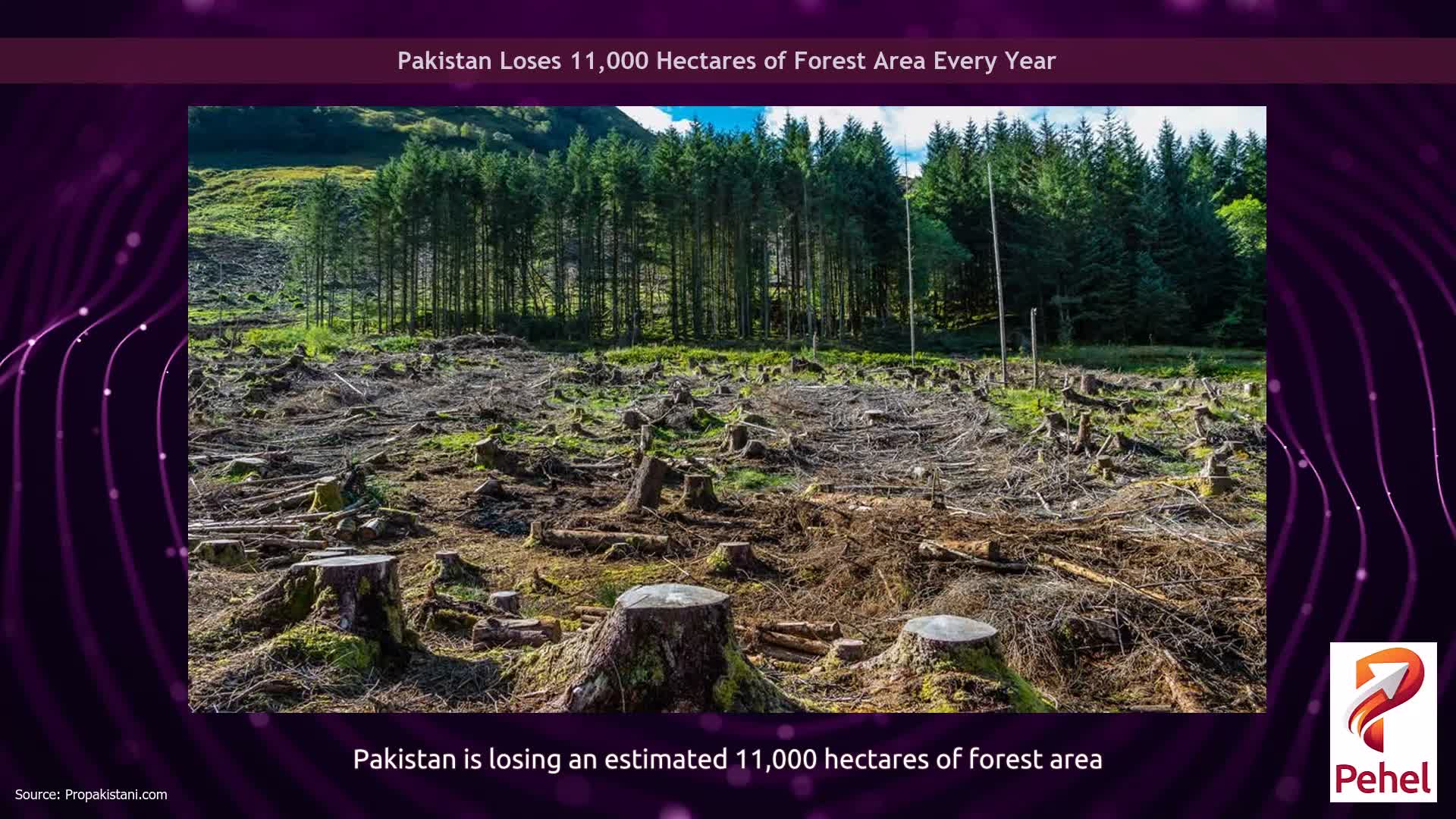
According to the available assessment, around 66.58 hectares of natural forest cover has been cleared in the area.
The comparison highlights a sharp transformation in the landscape, with multiple marked zones showing dense green cover in 2019 and significantly lighter, exposed terrain in 2026. The change points to sustained tree cutting in one of the province’s forest-rich regions.
The reported forest loss is expected to have serious environmental consequences. Experts warn that the conversion of forest land into bare soil can accelerate ecological degradation, increase the risk of landslides, and worsen soil and water erosion.
It can also damage wildlife habitats and result in further loss of biodiversity in the area.
The development has also renewed concern over illegal tree cutting in Khyber Pakhtunkhwa, where forest resources are already under pressure.
The scale of the loss visible in the satellite imagery suggests that the damage is not isolated, but part of a broader depletion of scarce natural forest cover.
📢 For the latest General & Pakistan news and analysis join ProPakistani's WhatsApp Group now!
Follow ProPakistani on Google News & scroll through your favourite content faster!
Shares